Developers Push for Smarter Drainage Design Standards
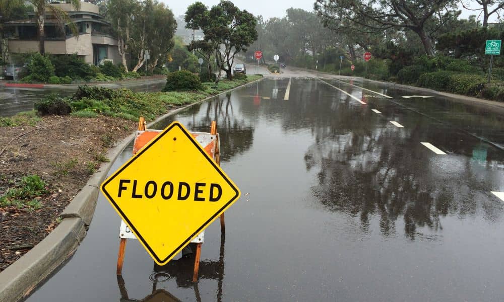
Last weekend’s heavy rain turned Dallas streets into rivers. Videos of cars stuck in water and flooded neighborhoods filled social media. For developers and property owners, those scenes weren’t just shocking—they were a wake-up call. The city’s fast growth and stronger storms are putting pressure on how projects handle drainage design, and it’s clear that […]
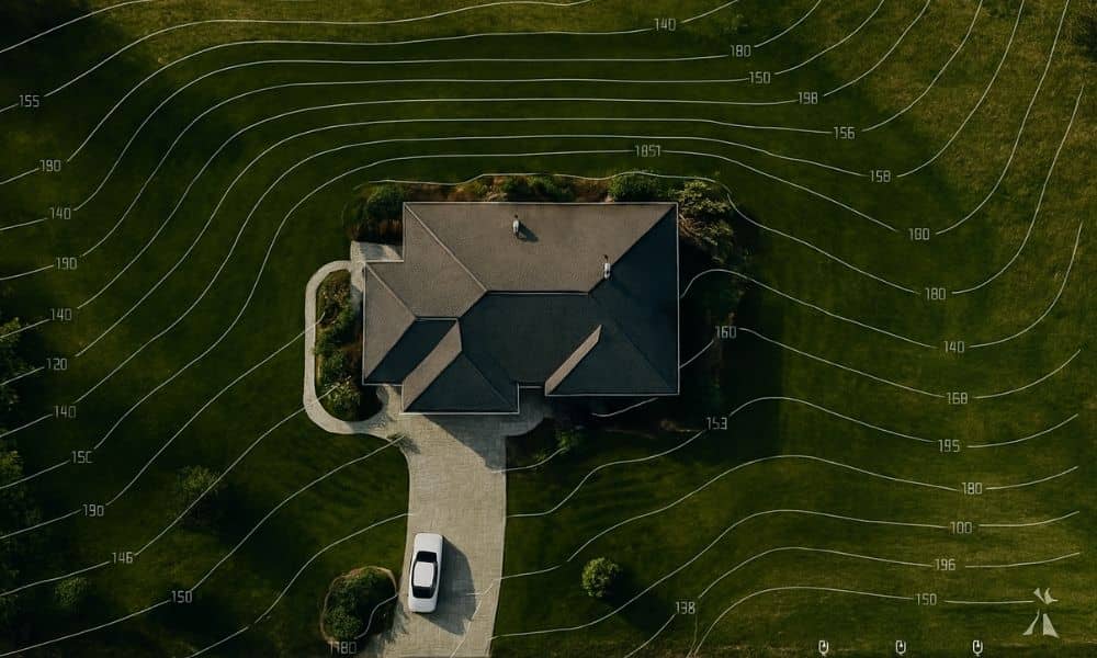
How to Scope a Topographic Survey That Passes Review
If you’ve ever tried to build, remodel, or add a new structure to your property, you probably know how tricky the city’s permit process can be. Between floodplain rules, drainage requirements, and the DallasNow online system, it’s easy to get stuck waiting for approval. One of the biggest reasons for those delays? A poorly scoped […]
ALTA Survey Tip: Before You Snap That Pipe Photo
If you live in Dallas, there’s a good chance you’ve received a letter from the city about your home’s water service line. The notice asks homeowners to check what kind of pipe connects their house to the water meter and upload photos to an online form. At first glance, it may seem like a small, […]