How to Scope a Topographic Survey That Passes Review
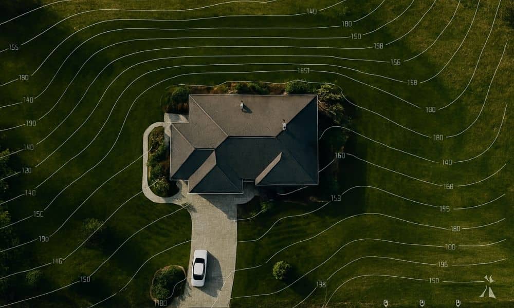
If you’ve ever tried to build, remodel, or add a new structure to your property, you probably know how tricky the city’s permit process can be. Between floodplain rules, drainage requirements, and the DallasNow online system, it’s easy to get stuck waiting for approval. One of the biggest reasons for those delays? A poorly scoped […]