
Why Survey Mapping Demand Is Surging Right Now
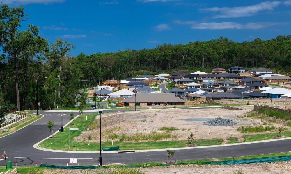
Dallas is growing fast, and the change is easy to see. Drive just outside the city and you will notice new homes, fresh roads, and busy construction sites. Areas like Crandall, Forney, McKinney, and Prosper are expanding almost overnight. Because more people want space and lower costs, they are moving out of the city and […]
Viral Bridge Gap Scare Shows Why Structural Design Matters
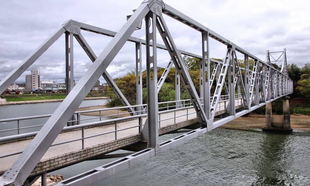
A few days ago, photos of a Texas flyover bridge started spreading online. Drivers noticed a visible gap in the road and quickly shared pictures on social media. Many people felt worried. Some drivers thought the bridge might be failing, while others wondered if it was still safe to drive across it. However, engineers soon […]
How New Drone Surveying Rules Are Changing Land Surveys

Texas is growing fast. New homes, businesses, and roads are being built every day. With this growth comes the need for accurate land surveys. In the past, land surveying was slow, and it took a lot of time and effort. But with drones, drone surveying has become a game-changer. Drones make surveying faster, safer, and […]