
Are Crosswalk Buttons Fake? Transportation Engineer Explains

Have you ever stood at a crosswalk, pressed the button, and waited… and waited… and waited? Many people believe those buttons do nothing. In fact, a recent online debate made this idea spread even more. Some people even say crosswalk buttons are fake. However, the truth is much simpler. Crosswalk buttons are part of a […]
Lot Survey Markers: What Flags and Stakes in Your Yard Mean
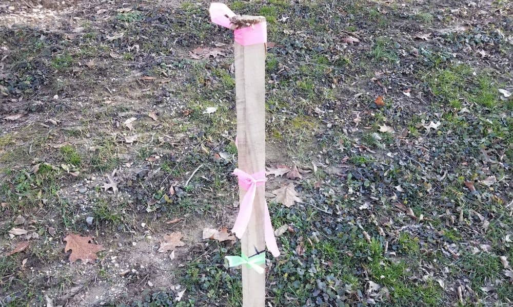
Have you ever stepped outside and noticed small flags, wooden stakes, or spray paint marks in your yard? At first, it can feel strange. Many homeowners wonder if someone is marking land for construction or if a neighbor ordered something without telling them. In most cases, however, these markings appear during a lot survey. A […]
Hiring the Right Engineering Company: A Viral Lesson

A few days ago, a Texas intersection went viral. Drivers posted videos showing cars crossing in what looked like the “wrong” direction. People called it confusing. Some said it proved bad planning. Others joked that engineers must have overcomplicated something simple. However, transportation officials explained that the design was a Displaced Left Turn (DLT) — […]