
Flood Elevation Certificate After FEMA Map Failures
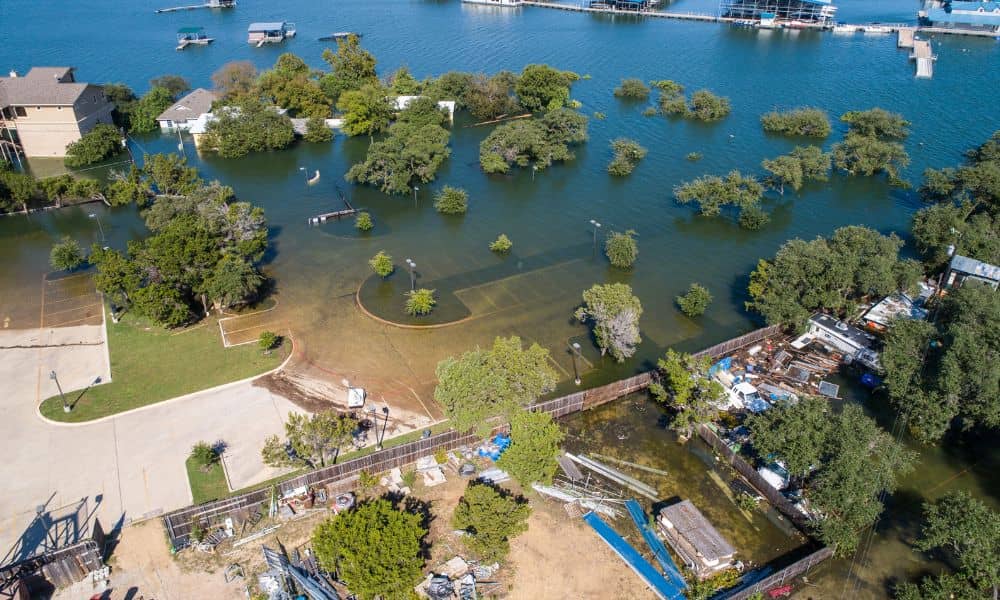
When news broke about the deadly flooding at Camp Mystic, many Texans felt shocked and heartbroken. Families now say the camp removed several cabins from FEMA flood maps, even though those buildings sat close to the river. That allegation raised a bigger question across the state: How safe are our flood maps? And for anyone […]
How GPS Interference Is Redefining Aerial Surveying

Aerial surveying is now a must for land development across Dallas. From new neighborhoods in Frisco to flood studies near the Trinity River, drones help surveyors map big areas fast and with great accuracy. But a new problem is rising above the city—GPS interference. It’s forcing survey crews to change how they plan flights, collect […]
Developers Push for Smarter Drainage Design Standards
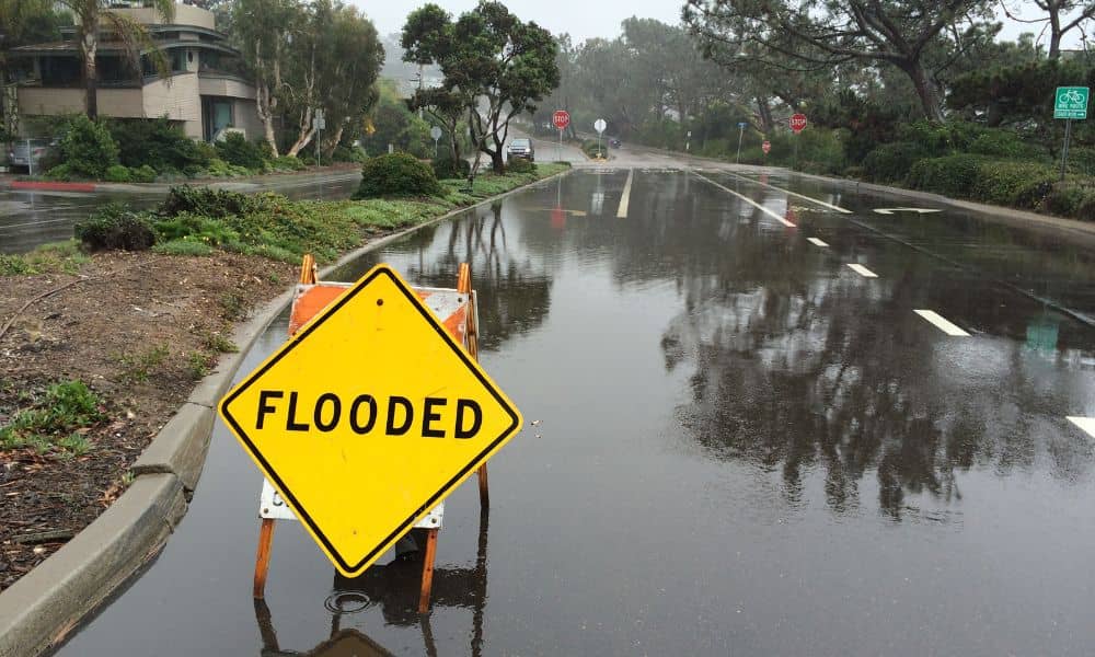
Last weekend’s heavy rain turned Dallas streets into rivers. Videos of cars stuck in water and flooded neighborhoods filled social media. For developers and property owners, those scenes weren’t just shocking—they were a wake-up call. The city’s fast growth and stronger storms are putting pressure on how projects handle drainage design, and it’s clear that […]