
How to Scope a Topographic Survey That Passes Review
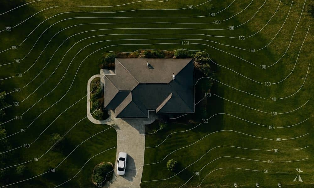
If you’ve ever tried to build, remodel, or add a new structure to your property, you probably know how tricky the city’s permit process can be. Between floodplain rules, drainage requirements, and the DallasNow online system, it’s easy to get stuck waiting for approval. One of the biggest reasons for those delays? A poorly scoped […]
ALTA Survey Tip: Before You Snap That Pipe Photo
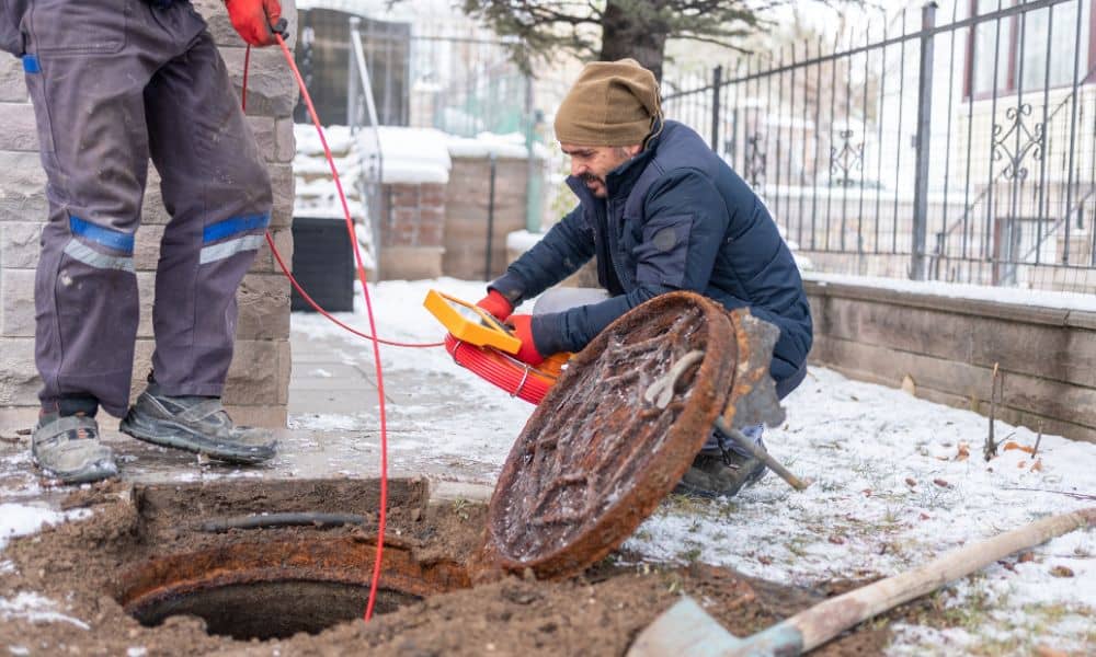
If you live in Dallas, there’s a good chance you’ve received a letter from the city about your home’s water service line. The notice asks homeowners to check what kind of pipe connects their house to the water meter and upload photos to an online form. At first glance, it may seem like a small, […]
Stormwater Design Lessons from a Mega Campus Build

When Goldman Sachs released images of its new Dallas campus this week, most headlines focused on jobs, office culture, and architecture. But for civil engineers, the real story is different. An 800,000-square-foot campus in the middle of Victory Park highlights a challenge every Dallas developer faces: stormwater design. Stormwater design is not flashy, yet it […]