
How a Topographic Survey Helps Avoid Drainage Issues

You step into your backyard and everything looks fine. The ground seems flat. The space feels ready for a patio, a pool, or maybe a new driveway. So you move forward with the plan. Then something unexpected happens. After the first heavy rain, water starts to collect in one area. The surface you just built […]
Why Survey Mapping Demand Is Surging Right Now
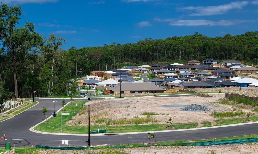
Dallas is growing fast, and the change is easy to see. Drive just outside the city and you will notice new homes, fresh roads, and busy construction sites. Areas like Crandall, Forney, McKinney, and Prosper are expanding almost overnight. Because more people want space and lower costs, they are moving out of the city and […]
How New Drone Surveying Rules Are Changing Land Surveys

Texas is growing fast. New homes, businesses, and roads are being built every day. With this growth comes the need for accurate land surveys. In the past, land surveying was slow, and it took a lot of time and effort. But with drones, drone surveying has become a game-changer. Drones make surveying faster, safer, and […]